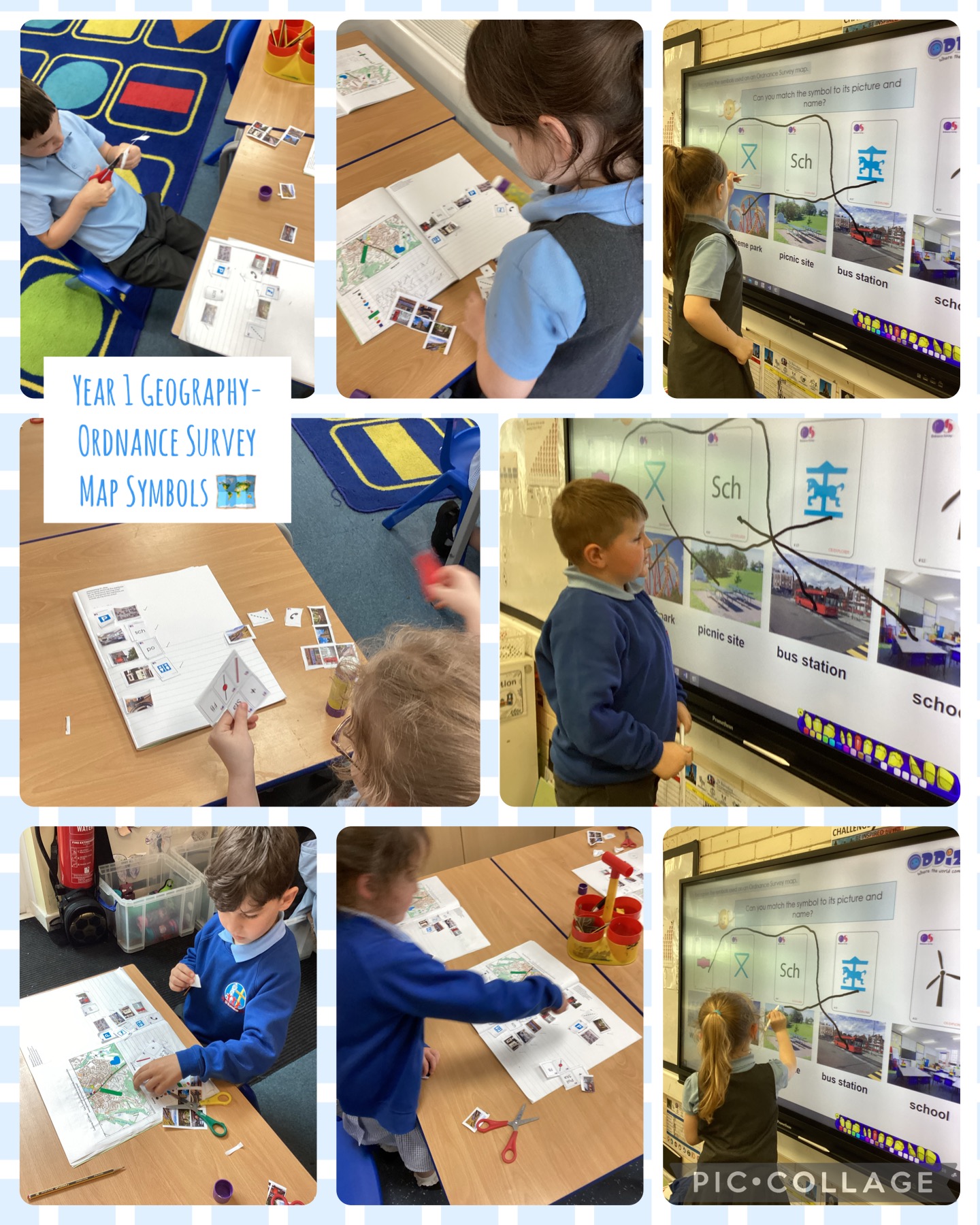
In their geography lesson, Year 1 have been looking at what the Ordnance Survey Map symbols mean. They had to look for clues within the symbols to make accurate judgements. They found the toilet, post office, school, telephone box, place of worship and carpark easier to guess from the symbol than the road, train station, foot path and footbridge. Year 1 then looked at an ordnance survey map of our immediate local area (Whitehall) and circled the symbols that they could see.